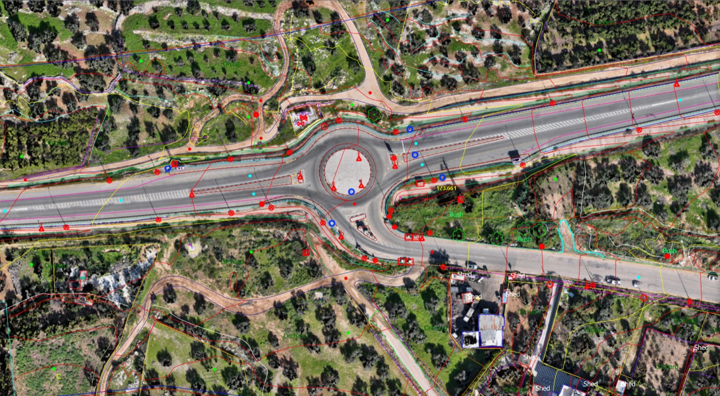
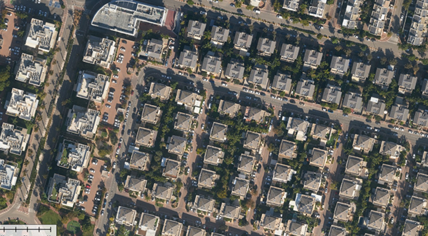
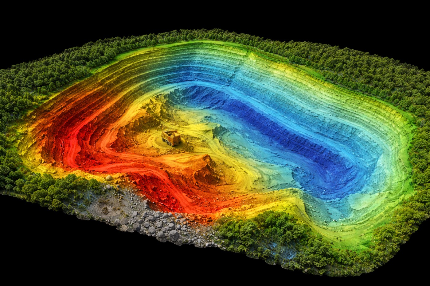
Photogrammetry, LiDAR, orthophoto, GIS and 3D/BIM — delivered accurately, efficiently and on time, onshore or offshore.
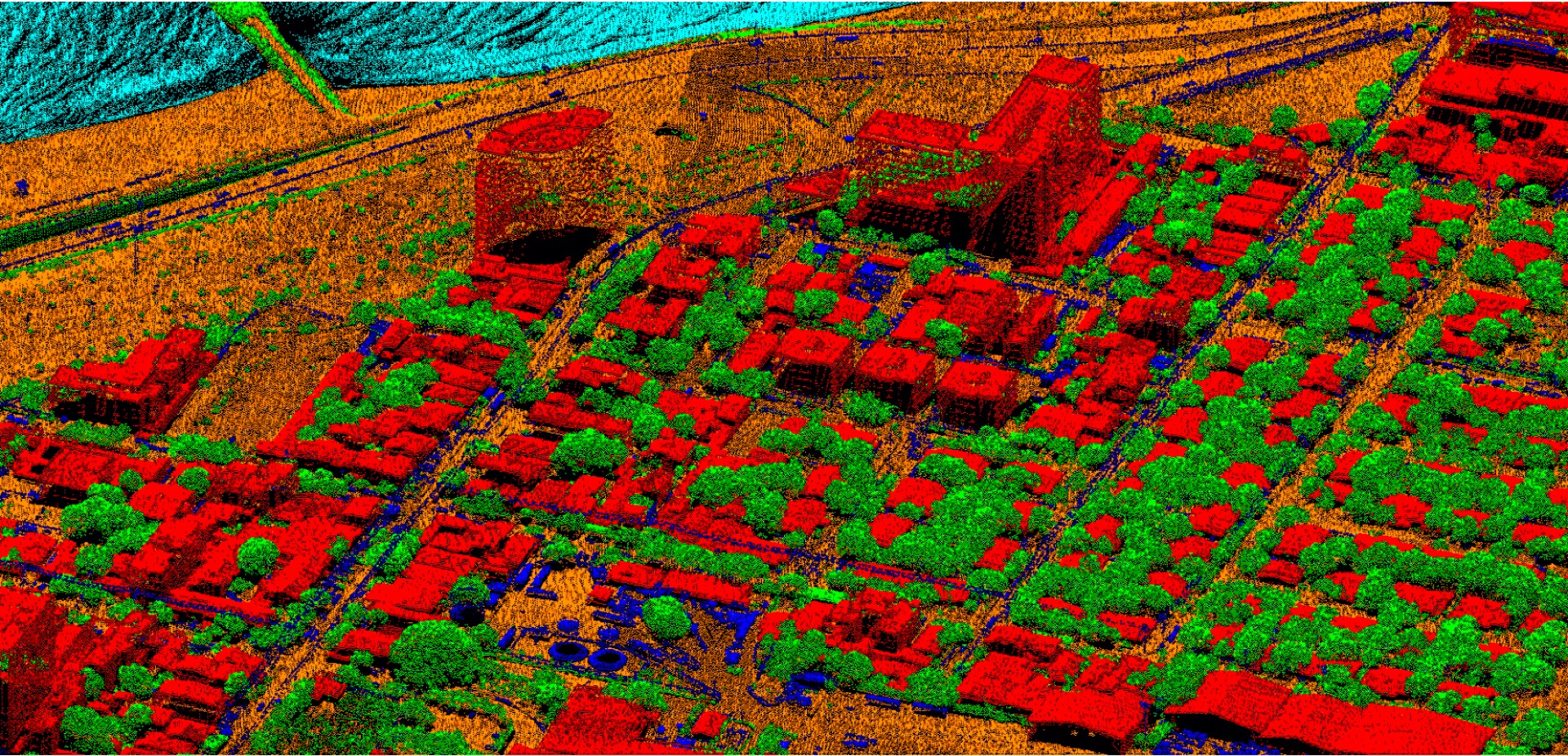
From raw aerial and mobile capture to ready-to-use, highly accurate spatial data for your applications.
Small to large-scale, application-specific projects with transparent delivery.
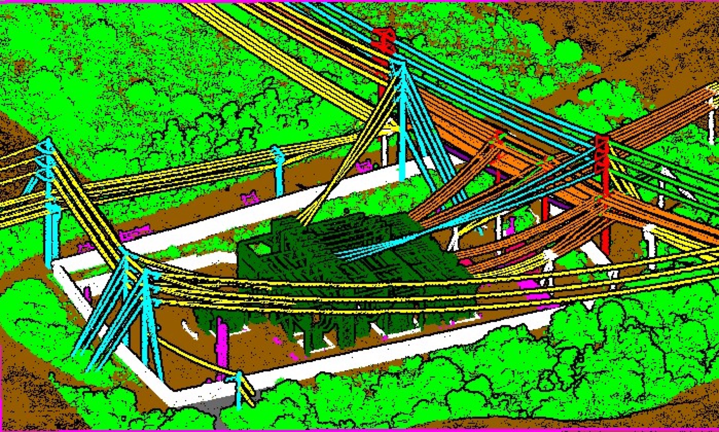
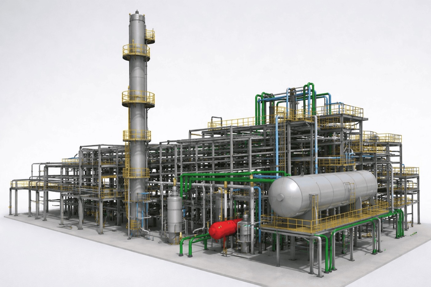
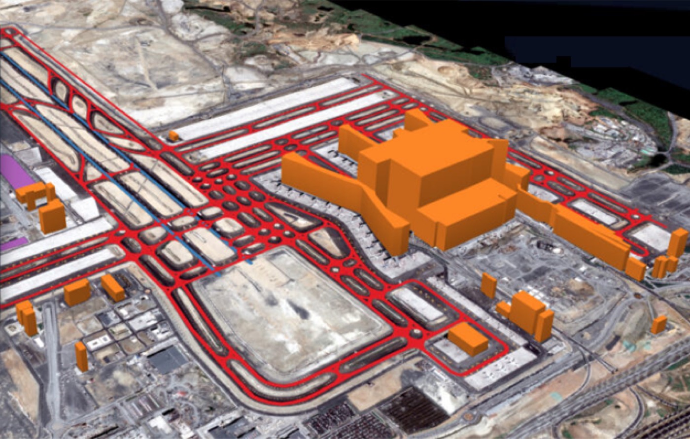
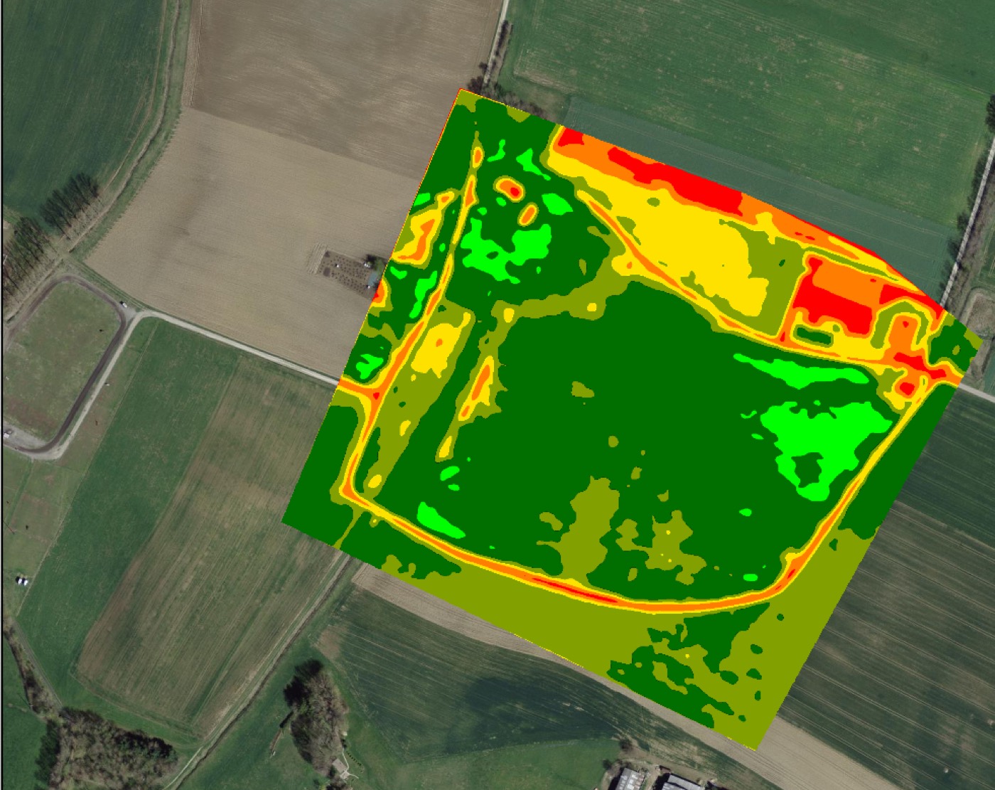
Talk to our team →Real outputs from our production pipeline. Slide the handle to compare source capture with the finished deliverable.
Application-specific geospatial data for the sectors that depend on accurate spatial truth.
Every capability under one roof — no vendor juggling.
From single sites to nationwide programs.
Flexible delivery models that fit your budget.
Structured operations with visibility at every stage.
Tell us your area of interest, accuracy needs and deadline — we'll come back with a clear scope and quote.